Buoywatch

Swell comes from two directions
California surf is driven mainly by North Pacific storms in winter, arriving from the west and north-west, and Southern Hemisphere storms in summer, arriving from the south and south-west. Which buoys matter depends on which of these your spot is open to.
Early warning offshore
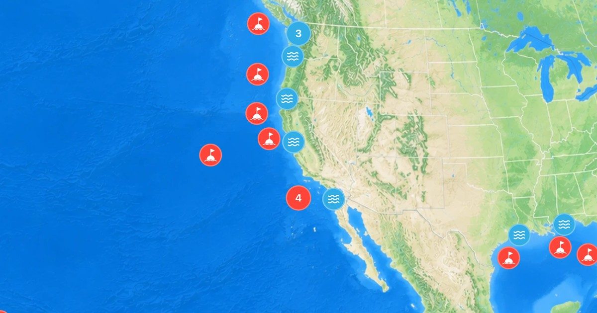
The West California buoy, about 357 nautical miles west of San Francisco, sees North Pacific swells long before they reach the coast. A big jump in its period is a sign that a new west or north-west swell is on its way. See Groundswell vs Windswell.
Northern and Central California
- Point Reyes: a well-exposed nearshore buoy north of San Francisco.
- San Francisco, 18 nm west: a reference for Ocean Beach and the San Francisco coast.
- Monterey, 27 nm west-northwest and Point Santa Cruz: for the Santa Cruz and Monterey Bay breaks.
Southern California and the island shadow
The Channel Islands block or filter many swells before they reach the coast between Santa Barbara and San Diego, so readings change a lot from buoy to buoy. Harvest, off Point Conception, shows swell before the islands; Santa Monica Basin and Tanner Bank sit further out; Torrey Pines Outer shows what reaches San Diego County. Comparing Harvest with Torrey Pines is a quick way to see how much the islands are taking out.
Tides along the coast
California has mixed tides: two highs and two lows a day, usually of unequal height. NOAA’s mean range at San Francisco (Golden Gate) is about 4 ft, and at La Jolla about 3.7 ft. Other useful stations include Monterey and Santa Monica pier. Heights are above MLLW; see What Is MLLW?
Find every California station in the United States buoys and tides lists.