Buoywatch

Closest is not always best
The obvious choice is the buoy nearest your beach, but distance is only part of the story. A buoy tells you about the waves passing its position. If an island, a headland or a bay sits between that buoy and your break, the swell it records may never reach you in the same form. The useful question is: which buoy sits in the path of the swells that work at my spot?
Offshore buoys: the early warning
Deep-water buoys far from the coast see a new swell first. In deep water, longer-period swell travels faster: its energy moves at about 0.78 metres per second for every second of period (the deep-water group speed). A 15-second swell covers roughly 42 km (27 miles) an hour, so a buoy several hundred miles offshore can give you most of a day’s notice. The West California buoy, about 357 nautical miles west of San Francisco, and the Northwestern Hawaii One buoy are classic examples.
Nearshore buoys: what actually arrives
Buoys closer to the coast show the swell after it has been shaped by the sea floor and any islands in the way. In Southern California, the Channel Islands block and filter many swells, so the Torrey Pines Outer buoy near San Diego often reads very differently from Harvest, out by Point Conception. On Oahu, the Waimea Bay buoy shows what is reaching the North Shore.
A simple way to choose
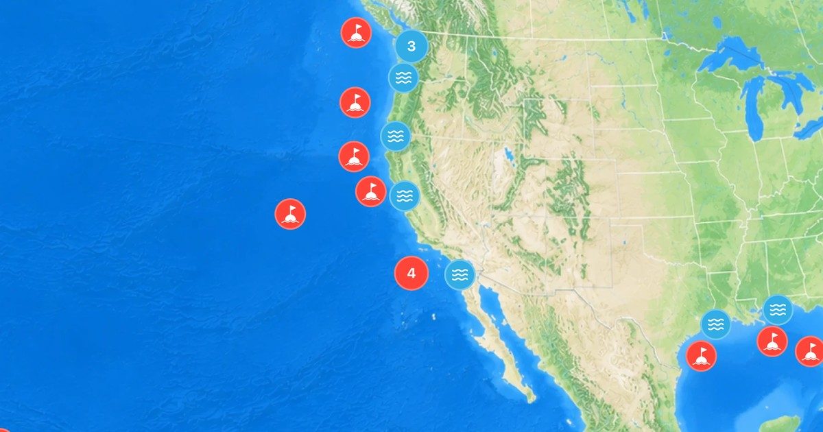
- Open the map on the buoys page and find your break.
- Note which direction your best swells come from.
- Pick one buoy well offshore in that direction, and one buoy close to your beach.
- Set the nearshore one as your main buoy in Buoywatch, and save both as favorites (Buoywatch PRO).
- Over a few sessions, compare what each buoy said with what you surfed. That local calibration is worth more than any rule.
Check what each buoy measures
Not every buoy reports every value. Some record waves but not wind; some report water temperature only. Each station page on Buoywatch shows which readings are available, and names the source, such as NOAA’s National Data Buoy Center or the Coastal Data Information Program (CDIP) at Scripps.