Buoywatch


A zero for the tide
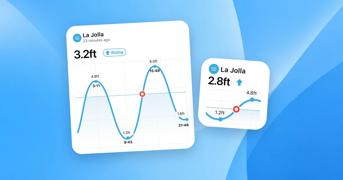
To give a tide height, you need a zero to measure from. In the United States, NOAA uses Mean Lower Low Water (MLLW) as the zero for tide predictions and nautical charts. Buoywatch shows US tide heights the same way, labelled “heights above MLLW”.
How MLLW is defined
Most US coasts have two high and two low tides a day, and the two lows are often different heights. NOAA defines MLLW as the average height of the lower low water of each tidal day, measured over the 19-year National Tidal Datum Epoch. Because it uses the lower of the two lows, most low tides are above zero.
Minus tides
Some low tides drop below the MLLW average. These show as negative heights, such as -1.2 ft, and are often called minus tides. They are most common around new and full moons, during spring tides. See Spring Tides and Neap Tides for Surfers. On shallow reefs, a minus tide can make waves break harder and closer to exposed rock, so check before you paddle out.
Different zeros elsewhere
Other countries use different datums, such as Lowest Astronomical Tide. Some stations on Buoywatch show heights relative to mean sea level instead, and the tide card always names the datum it uses. Compare heights between stations only when they use the same datum.
Ranges vary a lot
The same height means different things on different coasts. NOAA’s mean tidal range is about 1.3 ft at Honolulu but about 4 ft at San Francisco. Learn your own spot’s usual range from its tide chart.